
Overland Flow Paths Through A Development Site
When the pits and pipes are full, stormwater runs across the ground, and the route it takes is called the overland flow path. A development sitting on that route has to let the water pass without flooding the building or pushing it onto a neighbour, and that sets the floor levels, the basement entry, the fences and sometimes the footprint.
Plenty of Sydney sites carry this without anyone noticing. The lot is nowhere near a creek and the street looks dry, until the flood study shows a sheet of water crossing the block in a big storm.
Pipes and the overland system
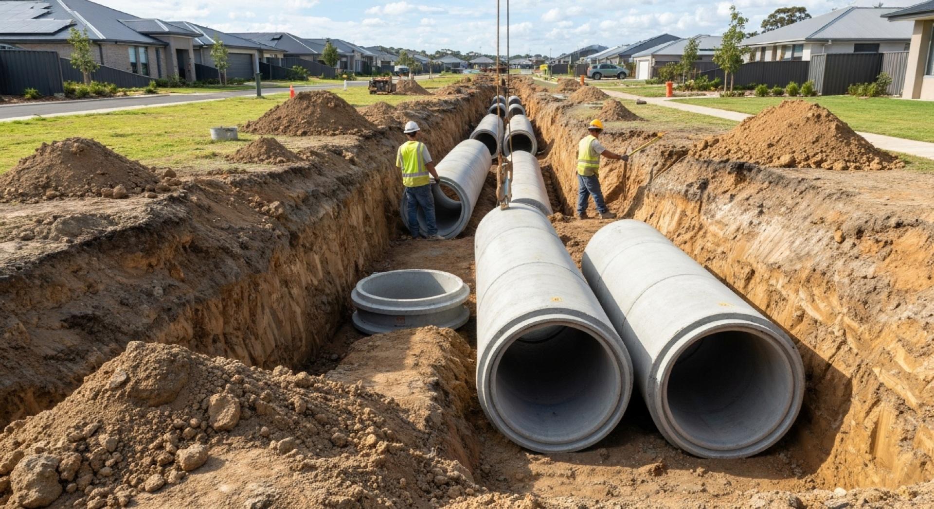
Stormwater design works in two layers. The pit and pipe network, called the minor system, is sized for a smaller, more frequent storm set by the council. The streets, gutters and flow paths across the ground, called the major system, carry whatever the pipes can't.
Australian Rainfall and Runoff, the national guideline for flood estimation, sets out that two-layer approach. Sydney councils then commonly ask for the major system to carry flows up to the 1% annual exceedance probability storm, the storm with a 1 in 100 chance of being equalled or exceeded in any year.
How a site gets flagged
Councils run flood studies for their catchments, and those studies map overland flow as well as creek flooding. A lot can show up on the council's flood mapping, be noted on its planning certificate, or only come to light when an engineer models the catchment above it.
We look at the ground upstream, not just the lot. A low point in the street, a sag in the kerb or an old drainage line across the back of the block usually tells you where the water goes before any model does. Creek and river flooding is its own subject, covered in [engineering for flood-prone sites](/blog/engineering-for-flood-prone-sites).
Floor levels and freeboard
Habitable floors sit above the flow level in the design storm, plus a freeboard, a safety margin the council sets in its development control plan. The freeboard differs between councils and between types of floor, so we read the plan that applies to the site rather than carry a number over from the last job.
A building that sits across a flow path has to let the water through. That can mean a raised floor, a suspended slab with open space underneath, or a gap between buildings shaped as a channel, and the architect needs that answer before the floor plan settles.
Basement entries
A basement is the lowest point on most sites, and water running down a driveway will fill it. The high point of the driveway ramp, called the crest, sits above the flood level so the water runs past the entry rather than into it.
Getting that crest high enough fights with the street level and the ramp grades, which is why it is set alongside [driveway grades and basement ramps](/blog/driveway-grades-and-basement-ramps) rather than after them. A [pump-out system](/blog/basement-stormwater-pump-out-systems) handles the rain falling on the ramp itself, and it was never meant to empty a basement full of floodwater.
Fences, walls and landscaping
A solid boundary fence across a flow path behaves like a dam. Water backs up behind it until the fence gives way or the water finds another route, often through the next property.
So fences along the path are open-style or lifted to let water pass beneath, and garden walls, planter boxes and stored materials stay off it. Those details often end up as conditions of consent, and they matter long after handover, because a new owner putting up a solid fence undoes the design in an afternoon.
Depth and speed together
Shallow water moving fast can knock a person over, and so can deeper water moving slowly. Flood hazard depends on depth and velocity together, so a flow path along a driveway or a pedestrian entry gets checked for both, as well as for whether it stays below the floor.
The neighbour downstream
Council will want to see that the development doesn't send more water onto the next lot than it received before, or concentrate it at a point where it never arrived. That covers the overland flow as much as the piped water, and the easement side of the question is set out in [stormwater for sites that fall away from the street](/blog/stormwater-for-sites-that-fall-away-from-the-street).
How we approach it
We model the catchment above the site and the flow across it, then set the floor levels, the driveway crest and the pit and pipe network from the same model. Our civil and structural engineers work from one set of levels, so a raised floor or an open undercroft lands on the structural drawings as well as the civil ones.
In a big storm, water takes the lowest route it can find, and the design decides where that route is.
ACSES provides civil engineering, including stormwater design, across Sydney. Talk to us about a project.
Building Relationships Beyond Structures

Related Articles
Tell us about your project.
We will respond with a clear understanding of how we can assist.
Partner With Us